When looking at possible routes for The Winscombe Round challenge a set of rules were followed, and like all good rules these could be broken if necessary. These were:
- Going over as many hills as possible whilst still in view of Winscombe
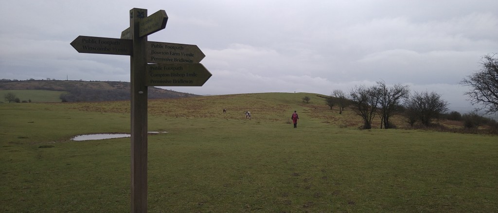
- Keeping fully to public accessible paths and access land
- Keeping away from the Mendip Way and other popular paths
- Making road crossings as safe as possible
- Not to go along stretches of roads
- Going through as many nature reserves or past ‘items’ of interest.
- Providing the possibility of short cuts and variations to the route
- Don’t start routes at popular walkers car parks
So the first stage was to decide which hills the Round needed to go over or past and looking for those less frequented paths. Standing in Winscombe (on top of a large ladder) and looking around you can see hills all around, however many of them don’t have public accessible paths over them. Through binoculars and on the ladder 10 hills can be spotted, so all that had to happen was on a map put dots where the hills are and to join them up
Ideally road crossings needed to be at places where there was lots of visibility and went straight across without the need to walk along then for any significant distance. The route is crossed by the A38 and the A371 which are the main issues but many of the other roads can contain fast cars and cyclist so take care and look before crossing.
Looking at the planning map of north somerset you can filter on local & national nature reserves, SSSI’s conservation areas for wildlife and by doing another set of dots further route options appear.
The route, apart from being totally within the Mendip AoNB, it also goes through 15 Nature Reserves, 4 SSSIs and nationally important bat conservation areas, all with different characteristics. The area is also full of history with a main thoroughfare to and from the Mendip lead mines for the romans running through the Loxton valley, limestone quarries and kilns, calamine and yellow ochre mines, iron age settlements, disused railways built in the 1800’s, pretend castles, Prehistoric ritual Standing stones, medieval boundary earthworks and caves containing bones of animals from a long time ago. The difficulty was covering all these in one route.
The Mendip Way and Limestone Link, long distance paths, are met during the Round and like some of the roads are impossible to avoid. In the area there are many paths which have become very popular and with the necessity of getting to them, carparks are overflowing. Therefore the idea of starting the route in Winscombe which has public carparks, not over run by walkers, was born. By doing so this also provides many facilities at the start and finish which can be used before and after a long day exercising.
So the route ended up as it is on this site but please feel free to break the rules (except for going off public rights of way) and make up your own variation long and short cuts.
